
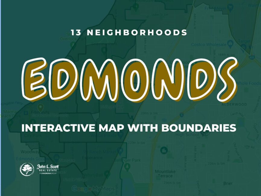
Explore 13 Edmonds neighborhoods on one interactive map
I originally built this map because I could not find a simple, useful way to see the commonly used Edmonds neighborhood boundaries in one place. Click around the map, compare the areas, and use the guide below to get your bearings before you start looking at individual homes.
Click, zoom and explore
Select a colored area or map marker to see the neighborhood name and available details. You can zoom in for street-level context or open the map in a larger window when you want more room.
All 13 Edmonds neighborhoods on the map
Edmonds is more varied than it first appears. A home near the waterfront can have a completely different daily routine, lot, view and price point than one near Five Corners, Perrinville or the Lynnwood border. Use these summaries as a starting point, then compare actual streets and properties.
Showing all 13 neighborhoods.
College Place
College Place is an informal east Edmonds area near Five Corners, Pine Ridge Park and the College Place school campus. The Edmonds and Lynnwood lines meet nearby, so the municipality and services can change within a short distance. Housing includes established detached homes along with condos and townhomes closer to busier streets.
Explore College Place real estateFirdale Village
Firdale Village sits in southwest Edmonds near the Woodway and Shoreline edges. The area is known locally by the Firdale Village commercial center and the surrounding residential streets. Buyers will find a mix of detached homes, condos and townhomes, with practical access toward Edmonds, Richmond Beach and Highway 99.
Esperance
Esperance is an unincorporated Snohomish County community surrounded by nearby cities and commonly associated with the greater Edmonds area. That distinction matters. An Edmonds mailing address does not automatically mean the property is inside Edmonds city limits. Check county jurisdiction, utilities, zoning and service providers for the actual parcel.
Maplewood
Maplewood is an established residential area east of the Edmonds Bowl. Mature trees, rolling terrain and homes from several building eras shape the neighborhood. When comparing properties here, pay attention to sunlight, drainage, driveway grade, tree maintenance and how each home uses its lot.
Explore Maplewood real estateMeadowdale
Meadowdale spans the north Edmonds and southwest Lynnwood area near Puget Sound. Homes range from established ramblers and split-levels to newer construction and view properties. Hills, rail access near the shoreline, city boundaries and the route to Meadowdale Beach Park are all worth checking from the specific address.
Perrinville
Perrinville is centered near Olympic View Drive and 76th Avenue West at the north end of Edmonds. A small commercial crossroads anchors the area, with established residential streets extending around it. The Edmonds and Lynnwood boundary is close, so buyers should confirm the exact jurisdiction rather than relying only on the neighborhood name.
Picnic Point
Picnic Point is north of Edmonds in unincorporated Snohomish County, though listings and mailing addresses may use Edmonds or Lynnwood. The broader area includes hillside homes, established subdivisions and properties with Puget Sound or Olympic Mountain outlooks. Verify road access, slopes, drainage, jurisdiction and any view exposure property by property.
Seaview
Seaview covers a residential part of west and southwest Edmonds, set back from the downtown waterfront. The location can offer a practical balance between neighborhood streets and access to downtown Edmonds, Edmonds Way and nearby parks. Elevation, street layout and Puget Sound views can vary significantly from one block to the next.
Sherwood Forest
Sherwood Forest is a smaller, informally defined area in southwest Edmonds near the Woodway and Esperance edges. It is primarily residential, with mature landscaping and homes built across different decades. Because the neighborhood label is not a legal boundary, compare the actual parcel and immediate surroundings when evaluating a listing.
Talbot Park
Talbot Park occupies the northwestern hillside above the Edmonds waterfront and is often associated with larger homes, established lots and view potential. A map pin does not tell the whole story here. Elevation, tree cover, slope, street access and the direction of the view can materially change a property’s experience and value.
The Bowl of Edmonds
The Edmonds Bowl wraps downtown and the waterfront in a natural hillside setting. This is where buyers often focus when they want access to restaurants, shops, beaches, the ferry terminal and the train station. Housing includes condos, cottages, townhomes and view homes, with major differences in elevation, walkability, traffic and rail noise.
Explore Edmonds Bowl real estateWestgate
Westgate is a southwest Edmonds neighborhood organized around Edmonds Way and the Westgate commercial area. The housing mix includes detached homes, condos and townhomes, while nearby routes connect toward downtown Edmonds, Highway 99 and Shoreline. Compare traffic exposure and walkability from the individual property, not just the neighborhood label.
Yost
The Yost area sits east of the Bowl around Yost Memorial Park, with access to wooded trails, recreation facilities and routes toward downtown and Five Corners. The surrounding housing is varied and established. Lot slope, tree cover, drainage and the real walking route to the park or downtown are useful details to investigate.
No neighborhood summaries matched that search. Try a broader phrase such as waterfront, park, downtown or border.
A boundary is only the beginning
One of the easy mistakes buyers make in Edmonds is deciding they like a neighborhood name before they understand the actual property. Two homes a few blocks apart can have different city jurisdictions, school assignments, views, walking grades, traffic exposure or access routes.
The map is designed to narrow your search. Once an area catches your attention, switch to address-level due diligence. That is where the meaningful differences show up.
- Confirm the municipality. An Edmonds mailing address may be inside Edmonds, Lynnwood or unincorporated Snohomish County.
- Test the real route. Drive to work, school, the ferry or I-5 at the time you would normally travel.
- Walk the block. Hills, sidewalks, crossings and street noise are easier to understand in person.
- Check the lot. Slope, drainage, retaining walls, trees and sunlight can matter as much as square footage.
- Verify schools directly. School boundaries can change and should be confirmed with the district for the exact address.
- Protect the view. Study tree growth, neighboring lots and potential development before paying a premium for a view.
Edmonds neighborhood map FAQ
How many neighborhoods are shown on this Edmonds map?
The interactive map shows 13 commonly used Edmonds-area neighborhood names: College Place, Firdale Village, Esperance, Maplewood, Meadowdale, Perrinville, Picnic Point, Seaview, Sherwood Forest, Talbot Park, the Edmonds Bowl, Westgate and Yost.
Are these official City of Edmonds neighborhood boundaries?
No. These are helpful local reference areas based on commonly used neighborhood names. They are not legal parcel, zoning, school or city-limit boundaries. Use the City of Edmonds and Snohomish County mapping tools to verify an individual property.
Why can a home have an Edmonds address but be outside Edmonds city limits?
Mailing addresses and municipal boundaries do not always match. Parts of the broader Edmonds area may be in Lynnwood or unincorporated Snohomish County while still using an Edmonds mailing address. Confirm jurisdiction for the specific parcel.
Which Edmonds neighborhood includes downtown and the waterfront?
The Edmonds Bowl is the commonly used name for downtown, the waterfront and the surrounding hillside. Its exact edges are informal, and homes within the area can differ greatly in elevation, views, walking grade and exposure to ferry or train activity.
How should I compare homes in different Edmonds neighborhoods?
Start with location, commute and access, then compare the actual block, lot, property condition, city jurisdiction, utilities, schools, slope, drainage, view and nearby development. Neighborhood names are useful shortcuts, but address-level details should drive the decision.
Trying to choose the right part of Edmonds?
Tell us what matters most: downtown access, a view, a particular commute, parks, a flatter lot, more space or a specific kind of home. We will help you compare the areas honestly and focus your search where it makes sense.
Share this post!

4 Comments on “13 Edmonds Neighborhood Mapped Out on Interactive Map”
Please update the spelling error on the map for picnic point. I didn’t look too closely but that did jump out at me. Thanks! ;)
It is corrected. Thank you.
What about the unmarked section of the map where Cafe Ladro and Woodlake Drive are located?
That is Lynnwood.