
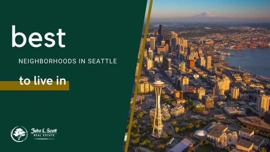
21 Seattle Neighborhoods Compared
Compare housing types, transit, parks, walkability and real-world tradeoffs—then decide which areas deserve a closer look based on your own priorities.
There Is No Single “Best” Seattle Neighborhood
The right Seattle neighborhood depends on your budget, preferred housing type, commute, transit needs and the places you use most. Ballard and Fremont have substantial neighborhood centers; Capitol Hill, Columbia City and Downtown offer strong transit access; Green Lake, Magnolia and Sand Point emphasize parks and outdoor space; Belltown and Pioneer Square have more condominium-oriented housing.
Where to Start Comparing
These are starting points, not rankings. Housing changes block by block, and broad areas such as West Seattle contain several distinct submarkets.
Explore 21 Seattle Neighborhoods
Use the filters to narrow the list. All neighborhood information remains visible and accessible when JavaScript is unavailable.
Showing all 21 neighborhoods.
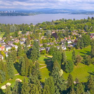
1. Madrona
- Housing snapshot
- Craftsman homes, renovated older houses, newer infill and some townhomes.
- Getting around
- Central Seattle location with bus connections; most daily trips are easier with a car.
- Why it stands out
- Lake Washington access, tree-lined residential streets and a compact commercial core.
- Tradeoff to consider
- Hills and limited rail access matter when comparing commutes.
- Also compare
- Madison Park, Central District and Leschi.

2. Ballard
- Housing snapshot
- Craftsman houses, townhomes, apartments and newer condominium buildings.
- Getting around
- Walkable commercial streets and frequent buses; no light-rail station yet.
- Why it stands out
- A substantial neighborhood center, restaurants, maritime history and access to Golden Gardens.
- Tradeoff to consider
- Popular corridors can be busy, and travel to downtown varies with traffic.
- Also compare
- Fremont, Greenwood and Sunset Hill.

3. Fremont
- Housing snapshot
- Apartments, condos, townhomes and pockets of older detached houses.
- Getting around
- Strong bus access plus the Burke-Gilman Trail; central for reaching several employment centers.
- Why it stands out
- Compact shops, restaurants, public art and easy access to Lake Union and the trail.
- Tradeoff to consider
- Housing can feel dense and parking is limited near the commercial core.
- Also compare
- Ballard, Wallingford and Queen Anne.
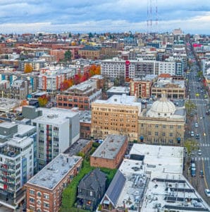
4. Capitol Hill
- Housing snapshot
- Historic apartments, modern condos, townhomes and some detached houses.
- Getting around
- Light rail, frequent buses and one of Seattle’s most walkable street networks.
- Why it stands out
- Restaurants, nightlife, cultural venues and large parks within a dense urban neighborhood.
- Tradeoff to consider
- Noise, parking and block-by-block intensity vary considerably.
- Also compare
- First Hill, Central District and Downtown.
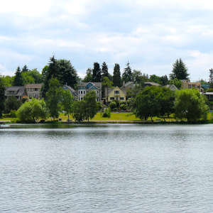
5. Green Lake
- Housing snapshot
- Bungalows, Craftsman homes, townhomes, condos and apartments.
- Getting around
- Bus connections and strong walking and cycling access around the lake.
- Why it stands out
- The lake loop, recreation facilities and nearby neighborhood businesses.
- Tradeoff to consider
- Traffic, event activity and parking increase close to the park.
- Also compare
- Wallingford, Greenwood and Ravenna.
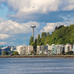
6. West Seattle
- Housing snapshot
- A broad mix of detached homes, townhomes, condos and apartments across several distinct subareas.
- Getting around
- Bus connections and driving via the West Seattle Bridge; access varies substantially by subarea.
- Why it stands out
- Puget Sound shoreline, major parks and established commercial districts such as the Junction.
- Tradeoff to consider
- West Seattle is a large district, so commute and housing comparisons should be made at the subarea level.
- Also compare
- Alki, Admiral, Alaska Junction and Fauntleroy.

7. Queen Anne
- Housing snapshot
- Historic houses, apartments, condos and townhomes, with different patterns on Upper Queen Anne and Uptown.
- Getting around
- Central location and bus service; steep grades affect walking routes.
- Why it stands out
- Neighborhood retail, Seattle Center access and notable city and water views.
- Tradeoff to consider
- Topography and event traffic near Climate Pledge Arena can affect daily routines.
- Also compare
- Magnolia, Fremont and Belltown.

8. Madison Park
- Housing snapshot
- Detached homes, luxury properties, condos and apartments near a small business district.
- Getting around
- Bus service and a short geographic distance to central Seattle, though no rail station.
- Why it stands out
- Lake Washington shoreline, Madison Park Beach and a village-scale commercial area.
- Tradeoff to consider
- Limited routes in and out and generally higher-cost housing choices.
- Also compare
- Madrona, Washington Park and Denny-Blaine.

9. Greenwood
- Housing snapshot
- Bungalows, mid-century houses, townhomes and apartments.
- Getting around
- Frequent bus corridors and a walkable business district; no current light-rail station.
- Why it stands out
- Independent businesses, neighborhood events and access to north Seattle.
- Tradeoff to consider
- Housing and street conditions vary near the Aurora corridor and neighborhood edges.
- Also compare
- Phinney Ridge, Crown Hill and Green Lake.

10. Magnolia
- Housing snapshot
- Detached houses, townhomes, condos and apartments around Magnolia Village and Interbay.
- Getting around
- Bus and car access through a limited set of routes; no light rail.
- Why it stands out
- Discovery Park, shoreline views and quieter residential streets.
- Tradeoff to consider
- Geographic separation can lengthen trips to other parts of Seattle.
- Also compare
- Queen Anne, Ballard and Sunset Hill.
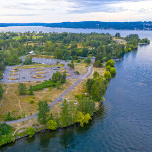
11. Sand Point
- Housing snapshot
- Primarily detached houses with townhomes and some condominium options.
- Getting around
- Bus and car access along northeast Seattle corridors; no rail station.
- Why it stands out
- Magnuson Park, Lake Washington access and extensive recreation space.
- Tradeoff to consider
- Fewer walkable commercial blocks than denser Seattle neighborhoods.
- Also compare
- Wedgwood, View Ridge and Matthews Beach.
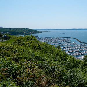
12. Sunset Hill
- Housing snapshot
- Mostly detached houses with some townhomes and small multifamily properties.
- Getting around
- Bus and car access through Ballard; routes vary by location on the hill.
- Why it stands out
- Residential streets, Puget Sound views and proximity to Golden Gardens.
- Tradeoff to consider
- Fewer shops within the residential core and more limited cross-city access.
- Also compare
- Ballard, Crown Hill and Magnolia.
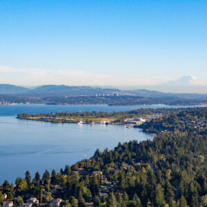
13. Matthews Beach
- Housing snapshot
- Detached houses, mid-century properties and some newer infill.
- Getting around
- Bus and car access with the Burke-Gilman Trail nearby; no rail station.
- Why it stands out
- Freshwater shoreline, neighborhood parks and northeast Seattle trail access.
- Tradeoff to consider
- Limited neighborhood retail and longer trips to central Seattle.
- Also compare
- Sand Point, Cedar Park and Lake City.
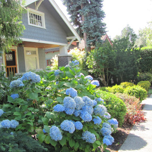
14. Ravenna
- Housing snapshot
- Craftsman homes, bungalows, townhomes, apartments and newer infill.
- Getting around
- Bus access with light rail available near Roosevelt or the University District depending on location.
- Why it stands out
- Ravenna Park, mature tree canopy and proximity to the University District.
- Tradeoff to consider
- Station access, hills and traffic differ considerably from one edge to another.
- Also compare
- Roosevelt, Wedgwood and Green Lake.
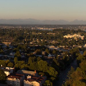
15. Wedgwood
- Housing snapshot
- Mid-century houses, older detached homes, townhomes and limited apartments.
- Getting around
- Bus and car access along northeast Seattle corridors; no rail station within the neighborhood.
- Why it stands out
- Residential streets, local businesses and access to parks and natural areas.
- Tradeoff to consider
- Fewer dense commercial and nightlife options than nearby urban centers.
- Also compare
- Ravenna, View Ridge and Bryant.
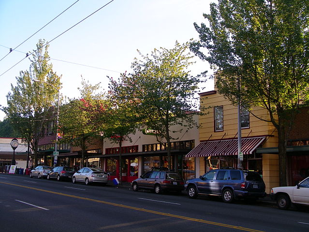
16. Columbia City
- Housing snapshot
- Craftsman homes, townhomes, apartments and condos around a historic business district.
- Getting around
- Light rail, buses and a walkable commercial core.
- Why it stands out
- Restaurants, cultural venues, neighborhood retail and convenient rail access.
- Tradeoff to consider
- Housing form, street activity and noise vary around Rainier Avenue and the station.
- Also compare
- Beacon Hill, Mount Baker and Hillman City.

17. Belltown
- Housing snapshot
- Predominantly condos and apartments in mid-rise and high-rise buildings.
- Getting around
- Excellent walking access to downtown, the waterfront and frequent transit.
- Why it stands out
- Urban convenience, restaurants, nightlife and proximity to major employers and attractions.
- Tradeoff to consider
- Street noise, parking costs and building-specific HOA considerations deserve close review.
- Also compare
- Downtown, Uptown and South Lake Union.

18. Downtown
- Housing snapshot
- High-rise condos, apartments and a limited supply of other housing types.
- Getting around
- Seattle’s strongest concentration of light rail, buses and regional transit.
- Why it stands out
- Direct access to employment, Pike Place Market, cultural institutions and the waterfront.
- Tradeoff to consider
- Building fees, parking, tourism activity and block-level conditions vary widely.
- Also compare
- Belltown, Pioneer Square and First Hill.

19. International District
- Housing snapshot
- Condos, apartments and historic residential buildings within a dense urban district.
- Getting around
- Exceptional regional access through light rail, buses, Sounder and Amtrak at nearby stations.
- Why it stands out
- Cultural institutions, restaurants, markets and connections throughout the region.
- Tradeoff to consider
- Inventory is limited and street conditions vary by block and time of day; evaluate using objective current sources.
- Also compare
- Pioneer Square, Downtown and Beacon Hill.
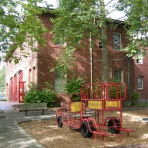
20. Central District
- Housing snapshot
- Historic houses, townhomes, apartments and substantial newer infill.
- Getting around
- Central location with frequent bus routes and relatively direct access to several employment centers.
- Why it stands out
- Deep Black history, cultural institutions, neighborhood businesses and a varied housing stock.
- Tradeoff to consider
- Rapid development has changed pricing and streetscapes; buyers should compare micro-areas carefully.
- Also compare
- Madrona, Capitol Hill and Mount Baker.
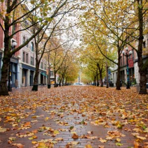
21. Pioneer Square
- Housing snapshot
- Historic lofts, condos and apartments with relatively little detached housing.
- Getting around
- Light rail, buses, ferries and regional rail are close at hand.
- Why it stands out
- Historic architecture, galleries, stadiums and direct access to downtown.
- Tradeoff to consider
- Event traffic, nightlife noise, building age and block-level conditions are important due-diligence items.
- Also compare
- Downtown, International District and SODO.
How to Compare Seattle Home Prices Correctly
A single neighborhood median can be misleading when one area sells mostly condos and another sells mostly detached houses. For a useful comparison, match the property type, size, condition and sale period. Ask for current MLS data covering the same time window for every neighborhood you are considering.
Seattle Neighborhood Questions
What should I compare before choosing a Seattle neighborhood?
Compare total housing cost, property type, commute at the times you travel, transit routes, parking, topography, nearby services and the condition of the specific block and building. Visit more than once and compare objective information consistently.
Which Seattle neighborhoods have light-rail access?
Capitol Hill, Columbia City, Downtown and the International District are directly served in this guide. Some parts of Ravenna are also reasonably close to stations in Roosevelt or the University District. Always map the exact address rather than relying on the neighborhood name.
Where are condos most common?
Belltown, Downtown, Capitol Hill and Pioneer Square generally provide more condominium and apartment choices than lower-density neighborhoods such as Wedgwood or Sunset Hill. Review HOA finances, reserves, insurance and upcoming projects for any individual building.
Which neighborhoods offer strong park or water access?
Green Lake, Magnolia, Madison Park, Sand Point, Matthews Beach and portions of West Seattle stand out for major parks or shoreline access. The experience varies by exact location, so measure the route from a specific property.
How current are the neighborhood descriptions?
This guide was substantively reviewed in September 2026. Businesses, transit service and housing conditions change, so verify time-sensitive details using current official sources and property-specific research.
How This Guide Was Prepared
Neighborhoods were compared using observable housing patterns, transportation access, parks, commercial centers and practical buyer due-diligence considerations. The guide avoids demographic recommendations and does not label communities by who should live there.
Neighborhood boundaries are informal and can differ among the City of Seattle, MLS systems and residents. This article is educational, not a substitute for property-specific inspections, HOA review, commute testing or current market analysis.
Share this post!

One Comment on “21 Seattle Neighborhoods Compared: Housing, Transit & Tradeoffs”
Comparing neighborhoods in person really changes your perspective because each part of Seattle has its own character. During our house-hunting weekend, one of our rides was arranged through Seattle Black Limo after touring Madison Park and Queen Anne, which helped us fit more neighborhood visits into the same day and make better comparisons.